Ed's Weather Station

Ed's Weather Station
Located south of Fulton, MO
Lat. 38.75234 N
Lon. 91.96758 W
Elevation 787 ft

GR3 Radar

Current 24 Hours Yesterday Last 48 Hours Last 72 Hours Last 30 Days Yearly Rainfall Yearly Temp Trends Monthly Wind Direction Last 30 Days Temperature Solar Data
Highs and Lows Trends Sun & Moon Rise\Set Times Moon\Solar Info
Local Weather Advisories Area Forecast Discussion NOAA-NWS Forecast Office Text Products Clickable NWS National Advisory Maps SPC Severe Weather Probabilities Storm Prediction Center
All Time Records Monthly Records Yearly Records
Weather Gauges MW Weather Network
Local Area Conditions US 24 Hour Temperature Change Charts Printable Weather Flyer MO River Information
About Ed's Weather Weather Station Status Weather Graphic Personal Weather Sites
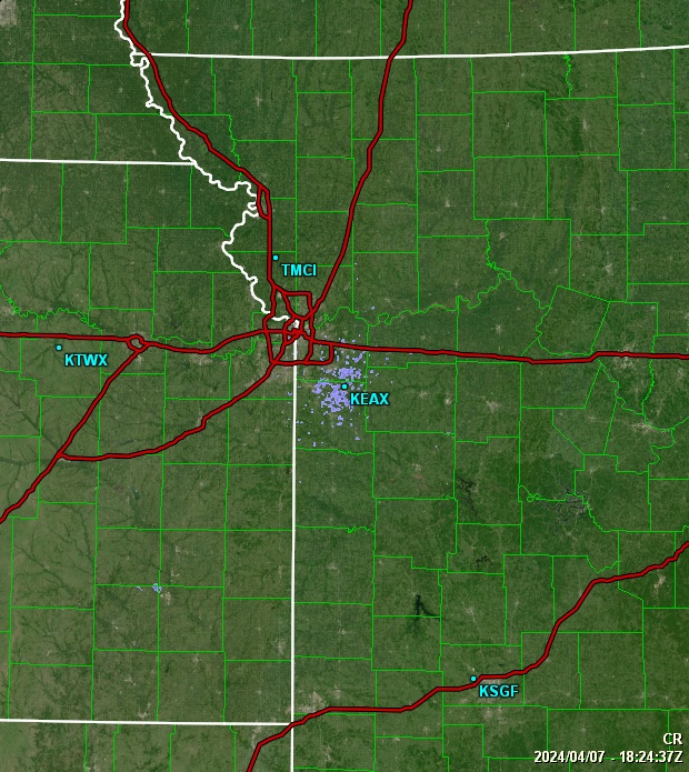
Kansas City NEXRAD Radar St. Louis Radar Regional Radar GOES16 Satellite Loops
Weather Underground Data Rain Detail Chart
NWS Forecast Details Ed's Forecast Details NWS WPC Experimental US 3 Day Forecast Charts UV Forecast Pollen Forecast Snow or Ice Accumulation Potential US 3 Day Excessive Rainfall Forecasts Air Quality Forecast Space Weather
Member of the following organizations:

Weather Underground


Plains Weather Network

Plains Weather Network

PWN

Temperature [ F° ] Dew Point [ F° ] Humidity [ % ] Wind [ mph ] Rain Today [ in ] Pressure [ inHg ] Fire Danger [Chandler Burning Index]

[Weather, Webcam, Lightning] Weather, WebCam, Lightning, [Weather, Lightning] Weather, Lightning, [Weather, Webcam] Weather, WebCam, [Weather] Weather

Conditions data shown was collected
from Fri, 26-Apr-2024 21:30:22 to Fri, 26-Apr-2024 21:38:04

Regional mesonet-map script by Saratoga-Weather.org

Current Conditions

Conditions data shown was collected
from Fri, 26-Apr-2024 21:30:22 to Fri, 26-Apr-2024 21:38:04

Note: Click on the table column title to change the order of that column's vaues.


Area

Station
Current
Cond.
Temp.
°F
Dew Point
°F
Humid
%
Wind
mph
Gust
mph
Rain
in
Pressure
in
Trend Fire
Danger
Last
Update
Iowa Carter Lake Metar KOMA: Mostly Cloudy 65 55 71 SW Wind from SW 4 4 1.34
29.37
Rising Slowly 3.4 Low  21:37:56
Iowa Madrid Partly Cloudy 60 58 95 ESE Wind from ESE 6 4 0.78
29.44
Falling Slowly -1.6 Low  21:37:57
Kansas Topeka Metar KFOE: Partly Cloudy 69 61 75 Wind from S 5 7 0.00
29.56
Rising Slowly 2.2 Low  21:37:53
Nebraska Columbus Metar KOLU: Clear 58 54 85 WSW Wind from WSW 6 4 2.55
29.41
Rising Slowly -0.6 Low  21:37:55
Nebraska Friend Overcast 61 55 79 SW Wind from SW 12 14 0.18
29.37
Rising Slowly 0.7 Low  21:38:02
Nebraska Lincoln Sunny 75 32 53 Wind from N 12 21 0.09
29.28
Steady 16.3 Low  21:38:01
Nebraska Omaha Metar KOMA: Mostly Cloudy 64 55 74 SW Wind from SW 7 19 0.75
29.42
Rising Slowly 2.3 Low  21:38:02
North Dakota Bismarck Metar KBIS: light Rain 45 42 91 Wind from N 8 15 0.90
29.53
Rising Slowly -1.7 Low  21:37:55
Oklahoma Collinsville Metar KTUL: Partly Cloudy 72 67 84 SSE Wind from SSE 13 27 1.40
29.66
Rising Rapidly 0.2 Low  21:30:22
Oklahoma Stillwater Overcast 74 61 64 SE Wind from SE 7 7 0.06
29.61
Rising Slowly 7.5 Low  21:38:04


Stations Features

Regional Mesonets

Regional Networks created by Saratoga-Weather.org along with the Global Afilliated Regional Networks hub site at NorthAmericanWeather.net. [About]